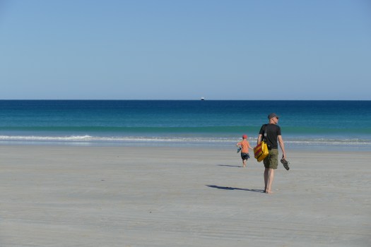
After reaching our last goal on the list, the Tip of Cape York, we realized that we still had a month left which means that we could really slow down and didn’t have to drive long distances anymore. Before we left Punsand Bay we booked a half-day tour to a pearl farm on small Roko Island.
It was just us on the tour, which was very nice, gaining a good insight into this small family business. Jason, the young farm manager showed us the shells hanging in special baskets in the sea, explained how small pearls are inserted into the shells, one by one and by hand.


His tools reminded us more of a dentist’s. Together with the pearl he plants a little flesh from another shell, which then starts growing the shining coat around the inserted pearl. All this is done through a tiny little gap – the shell can’t be opened too much in order not to damage it. After a couple of years, the grown pearl will be extracted the same way, before a new, smaller one is planted. A very slow and labour-intensive process!
After Punsand Bay we drove out to Mutee Head on the east coast, a more remote campsite with beautiful views over the Torres Strait. Sitting around the campfire in the evening, watching the sea changing colour from light blue to black, the moon and the stars above us – it’s all so peaceful!


On the way south, we stopped at Bramwell Station, one of the old cattle stations on Cape York. They were in the middle of mustering the cows, using both a helicopter and squad bikes. Quite a spectacle and fascinating to watch. Less entertaining was the mooing of the cattle all night long, ensuring that none of us slept too well that night.
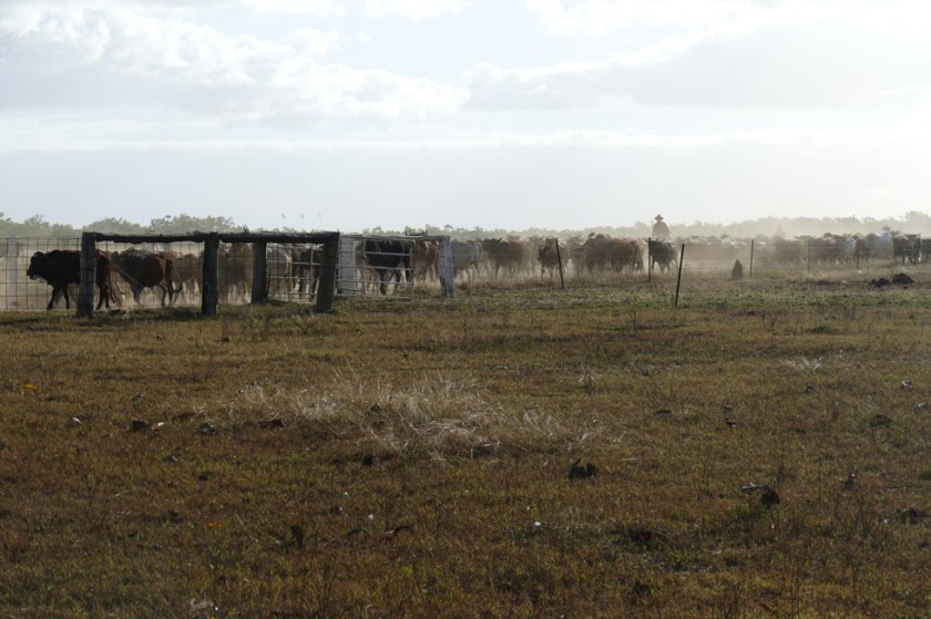
- Mustering at Bramwell Station


We stopped for one night at Oyala Thumotang National Park, which most people leave out. Again, we had a camping site for ourselves next to a creek. We tried our luck fishing (no luck), had a great campfire in the evening and a quiet night.


From there we chose to drive back the same we as we came, crossing Lakefield National Park. From our campsite at Hann Crossing at the river shore, we spotted two pairs of eyes in the water, reflecting the light of our torches – no doubt that they belonged to crocodiles.

- Camping at Hann Crossing

This made me move my swag a little further away from the edge, even if the river bank was steep and probably too big of an obstacle for the croc. But you never know… I peeked out several times during the night, making sure nothing was moving around me.


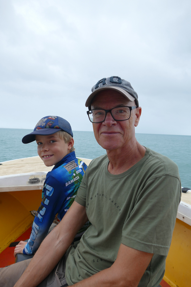
Back in Cooktown, Robin and Dag joined another fishing charter and for the first time came back with plenty of fish – and even more sand fly bites which obviously inhabit the mangroves.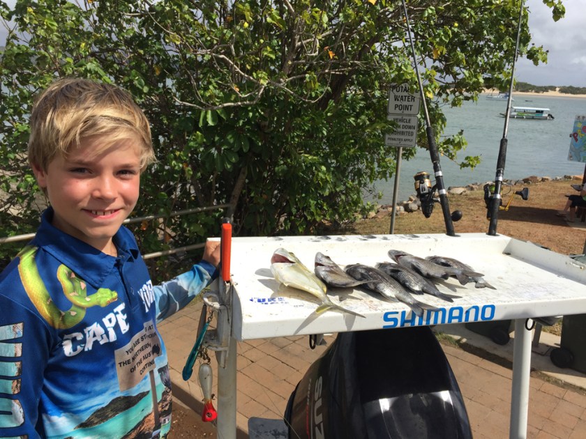 In the meantime, I climbed Mount Cook. I enjoyed having some time by myself and walking at my own pace. The track turned out to be quite narrow, steep and slippery, and at the top there was absolutely no view – just fog and drizzling rain. Never mind, there were beautiful views along the way, and walking through the dense rainforest is anyway stunning!


We had intended to spend a couple of nights a little further north at the beach, but stormy weather with heaps of rain forced us to change plans. We headed back to Cape Tribulation and spent one night in a cabin. Along the Bloomfield Track we realized how much it must have rained; water levels of creeks and rivers had risen significantly since we passed through a month ago.
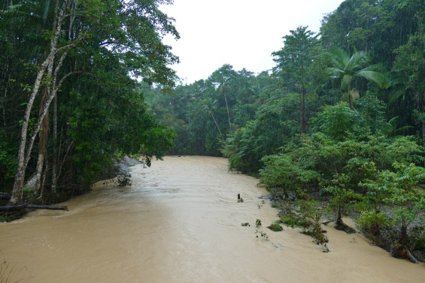
- River crossing along the Bloomfield Track
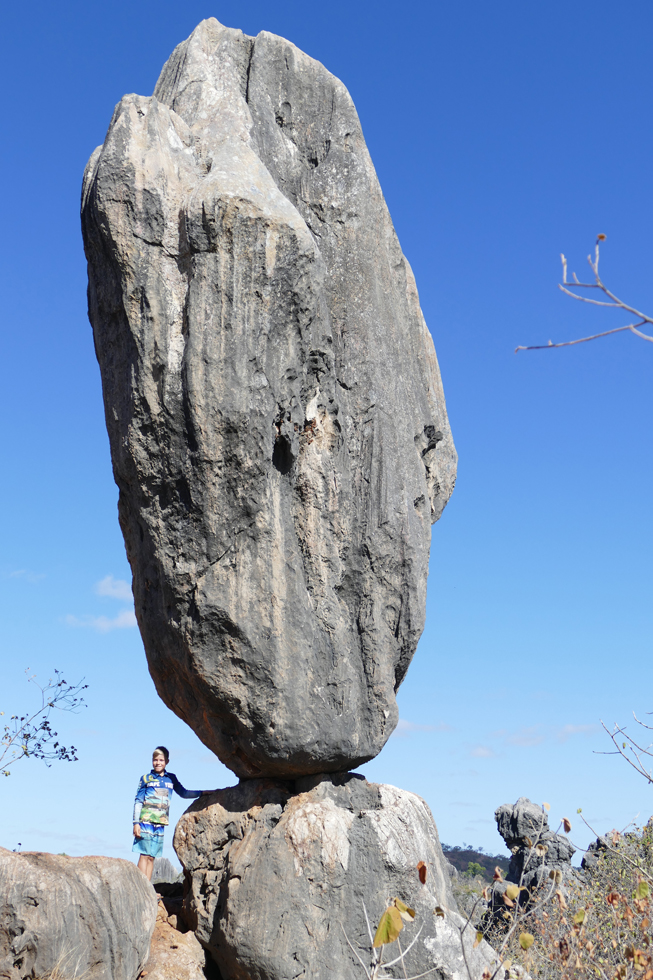
Next day we moved over to the camping, put up our tent and got it a little dry at least. Roof top tent and swag are not the most comfortable place to be when it’s raining in the Wet Tropics, that’s for sure…! But at least it is not cold, which helps a lot. Robin and I went on a ‘Jungle Surfing’ tour, flying on ziplines up to 20 metres above the ground, through the Daintree Rainforest. We had a lot of fun! After another very wet night we decided to leave the coast for a couple of days. Inland usually has better, dryer weather. Driving three hours west to Chillagoe, land and weather had changed. From wet rainforest we were now in dry and warm savannah landscape – just what we needed. Chillagoe is known for the Mungana Caves, a system of between 600 and 1000 limestone caves surrounded by spectacular karst landscape.

Chillagoe, one hundred years ago hosting 13 hotels, two newspapers, a hospital and population of over 10’000 people, is today a quiet but charming little town with around 200 inhabitants. We liked its outback charm, the beautiful light and amazing starry sky. Going to the general store and hardly getting any food, because the truck with new supplies arrives the day after. We really love these places where time has stood still…


We visited two of the limestone caves, Trezkinn and Royal Arch Cave. The second one was especially fascinating, not being light up at all. We all got torches and went down into the darkness, following a steep and narrow path through different caves, admiring beautiful stalactite and stalagmite formations.

- Trezkinn Cave
Our guide Greg told us a lot about the caves, how they were created, how they got discovered, which animals inhabit them (bats, spiders and snakes), which animals they must fight (feral cats and cane toads) and about all the different task the rangers are responsible for. He was very enthusiastic and informative! No wonder Robin talks about becoming a cave explorer after meeting him. After the guided tours we went to see the Archways on our own, a semi open cave system with open shafts and shadowy tunnels. A real adventure!


It certainly was the right choice driving inland, leaving the coast and bad weather behind us. Getting once again the feeling of the outback was awesome – we are going to miss it!

Da har jeg fulgt den flotte ekspedisjonen deres i et halvt år og vel så det. De fleste stedsnavnene finner jeg på Navida-appen, men jeg savner de fine kartene du la ut til å begynne med, Corina. Atlaset hjemme er bare håpløst dårlig. Hilsen til de tre eventyrerne fra Arnebass, nettopp hjemme etter en ukes flott seiltur Oslo-Kragerø.
LikeLike
Takk for hyggelig melding, Arne! Og så ses vi jo snart på jobben igjen 🙂
LikeLike