We are still just halfway up the Peninsula – no reason to rush. We’ve got plenty of time and there is so much to see.
About 200 kilometres northeast of Port Douglas is Laura, a small town well known for the Quinkan (an Aboriginal mythological being) Aboriginal art country that surrounds it. It is supposed to contain some of the best Aboriginal art sites in the whole Australia and are listed by Unesco as amongst 10 top pre-historical rock art sites in the world. Humans, animals, tracks and spirits have been painted on the rock walls, always under an overhang and well protected from rain.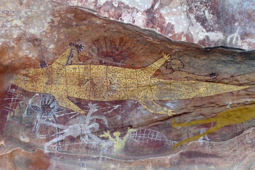
We were told that there are about 1’200 sites around Laura, and new ones are still being discovered. The land is quite inaccessible, with lots of rock boulders that hide the art sites. Only a handful are open for public, and of these you’re only allowed to visit one site without a guide, the Split Rock Group. So that’s where we started. We walked the path up the hillside all by ourselves and reached the sandstone escarpments covered with paintings thought to date back 14’000 years. It is somehow a quite surreal experience, realizing that humans have been living here for such a long time, only to be nearly extinguished by the European and Chinese settlers. With them a lot of their culture and language disappeared as well.
We joined a guided tour to see the so-called Quinkan Galleries, a collection of several rock art sites around some sandstone boulders and cliffs buried deep in the bush. Even if The Galleries are being considered for World Heritage status, nothing indicates its international or historical significance on site. The paintings are done with ochre in red, white and brown, a few in yellow. They have been layered on top of each other, each tribe adding more each time they passed through the camp. Our guide explained us that this particular site is believed to have been used for initiation ceremonies, where young boys are formally entering adulthood. He showed us a narrow tunnel in the sandstone, connecting one overhang with the other. This is where the boys had to crawl through as a proof of their courage. Most of the images are of animals, most likely what the tribes ate or saw. Others show figures of the spirits from which the site gets its name. Stenciled handprints, used as signatures, accompanied the drawings.


It was beautiful and impressive, especially thinking about the fact that the whole area is covered with secret sites like that!
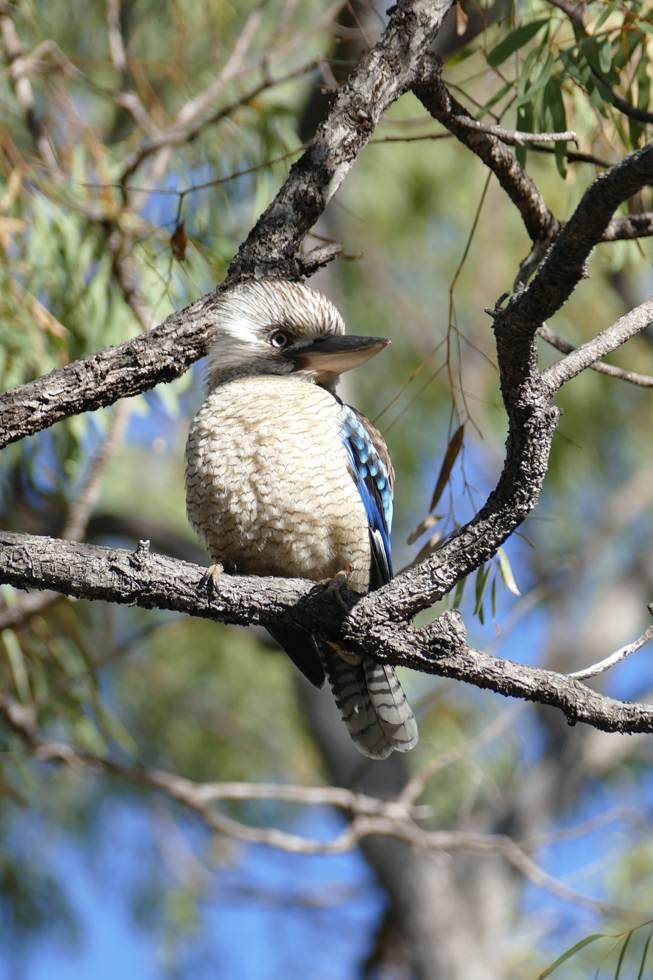
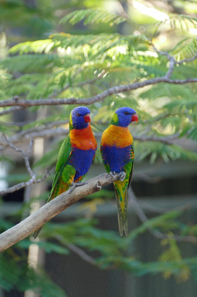
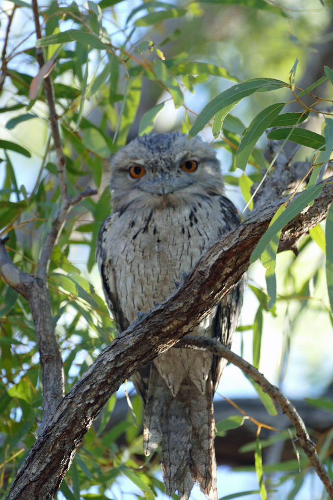
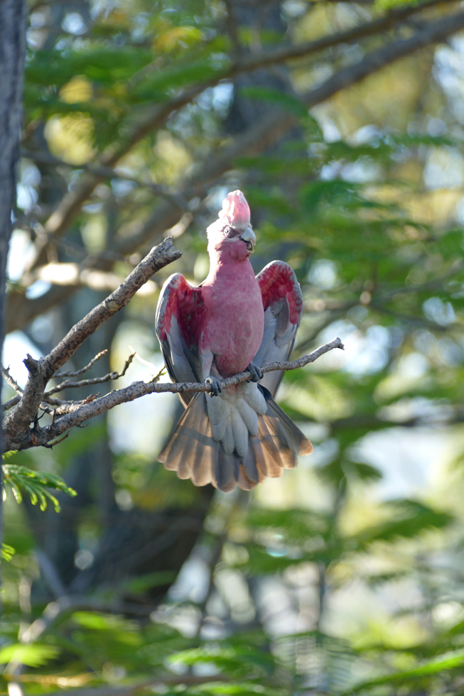
From Laura we continued to Lakefield National Park, which is the largest national park in the Cape York Peninsula. It’s all open woodlands and grasslands, wetlands, rivers, and mangrove mudflats, on some very flat land breaking up the Great Dividing Range. Not much to do other than enjoy the nature with its abundance of birds.

Some people obviously go canoeing on some of the lagoons, though it’s crocodile country and accidents have happened… so we always keep a safe distance to all the waters.


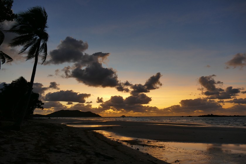
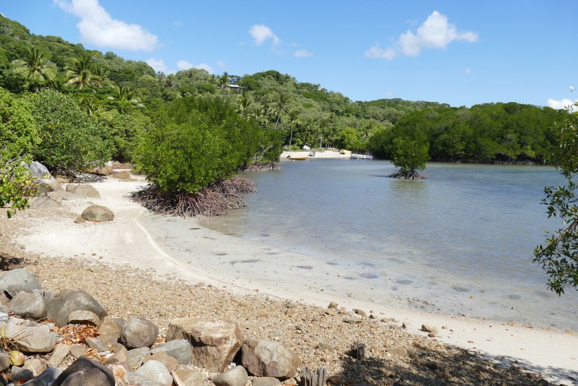
After one night in the small town of Coen, where we filled our fridge again, we drove the long and partly quite rough road west to Iron Range National Park. It was a very varied and scenic drive. For most of the journey the road winds about through hilly country, including many wet crossings and passing through eucalypt and paperbark forest, then further east the largest remaining area of lowland rainforest in Australia. Once we reached the coast it felt like we had arrived in paradise – Chili Beach, where we spent the next three nights is stunning! Fine white sand fringed with high coconut palms and dense rainforest right behind.


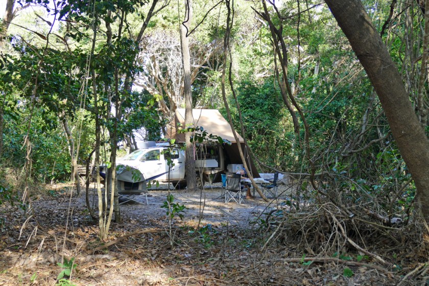
We did long walks along the beach (not swimming – there’s crocodiles all over Cape York), Robin spent hours building a beautiful Beach House (you use with what you find!).


One night we went animal spotting with torches through the forest (didn’t see much, just a frog). We ate a nice lunch at ‘The Out of the Blue Cafe’ in nearby Portland Rivers, a tiny place with about five houses and including this gem of a café with the most stunning view.
We also drove to Lockhardt River, the nearby Aboriginal community. Before leaving we had to take wine and beers out of our car and leave at the campsite – as in so many other places on Cape York there are alcohol restrictions visiting the community. Unfortunately, the art centre in town, which was the main reason why we went there, was closed – the guy had gone on a walkabout we were told.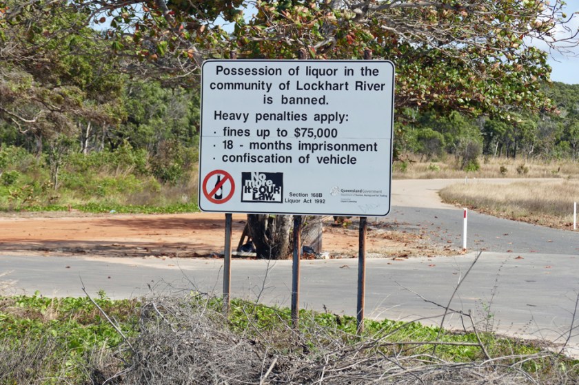
Chili Beach would have been perfect, hadn’t it been for all the marine debris along the beach. A sign informed us that more than 5 tonnes is removed from the beach every year (they must have cleaned up recently since it didn’t look too bad when we were there), 90% of it being washed ashore from the ocean. More than 6’500 plastic bottles and 4’700 rubber thongs were counted. It was a strong reminder that we must focus on reducing our plastic waste.


After three peaceful days on the east coast we continue, heading over to the west side, visiting the mining town of Weipa. There we’ll be able to stock up, before we hit the red dust again and drive all the way up to the tip.